Quick Guide to Using a South Africa Map
A detailed South Africa map helps you understand the country’s nine provinces, major cities like Cape Town and Johannesburg, national parks such as Kruger, road networks, coastlines, and travel distances so you can plan smarter and travel confidently.
Jump directly to details:
- Explore the 9 Provinces
- Major Cities and Urban Maps
- Tourist and National Park Maps
- Road Trip and Driving Routes
- Hotels, Tours and Booking Tools
Key Takeaways:
- South Africa covers about 1.22 million square kilometers, making it one of Africa’s largest countries.
- The country has nine provinces, each with distinct geography and culture.
- Interactive maps improve safety, route planning, and budget management.
- Tourism hubs include Cape Town, Johannesburg, Durban, and Kruger National Park.
The South Africa Map by Province
When I first studied a full political map of South Africa, I realized how diverse the country truly is. From coastline to desert, mountains to savannah, every province tells a different story.
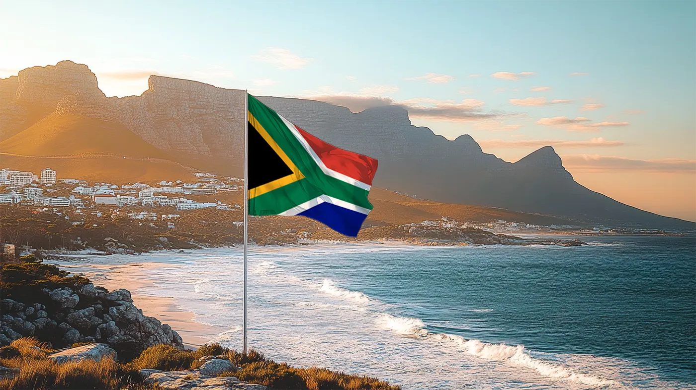
Western Cape
Home to Cape Town, Table Mountain, and the Garden Route. This province blends mountains, vineyards, and coastline. Official tourism website: wesgro.co.za
Gauteng
The smallest province by land size but the economic powerhouse. Includes Johannesburg and Pretoria. Provincial site: gauteng.gov.za
KwaZulu Natal
Durban’s beaches, the Drakensberg Mountains, and rich Zulu heritage define this region. Tourism portal: zulu.org.za
Mpumalanga
Gateway to Kruger National Park and the Panorama Route.
Limpopo
Known for wildlife reserves and ancient baobab trees.
Eastern Cape
Wild Coast landscapes and historic towns.
Northern Cape
Largest province by land area, famous for desert scenery and diamond mining history.
Free State
Open plains and agricultural heartland.
North West
Home to Sun City and Pilanesberg National Park.
Major Cities on the South Africa Map
When planning my route, I always zoom into city maps for transport hubs, hotels, and attractions.
Cape Town Map and Location
Accommodation options: Booking.com | Agoda | Expedia
Johannesburg Map and Location
Top rated tours via GetYourGuide and reviews on TripAdvisor.
Durban Map and Location
Kruger National Park and Tourist Maps
I always recommend travelers examine wildlife maps before visiting. Kruger National Park spans nearly 20,000 square kilometers and stretches across Mpumalanga and Limpopo.
Kruger Visitor Details
Official Website: sanparks.org
Gate Hours: Typically 5:30 AM to 6:30 PM depending on season
Conservation Fees: Approx R460 per adult international visitor
Average Rating: 4.7 out of 5 from thousands of reviews on TripAdvisor
Road Map of South Africa and Driving Distances
South Africa has a well developed road network. Major highways include the N1, N2, and N3. Distances can be long. Johannesburg to Cape Town is roughly 1,400 kilometers by road.
Popular Scenic Route: The Garden Route
Stretching along the southern coast from Mossel Bay to Storms River, this route offers forests, beaches, and adventure stops. Guided tours available via GetYourGuide.
Drakensberg Mountain Route
Ideal for hikers and nature lovers. Best accessed from KwaZulu Natal.
Hotels, Rentals, and Travel Booking Tools
Why Maps Matter for Budget Planning
I personally map fuel stops, accommodation clusters, and attraction zones before finalizing any itinerary. It saves time and prevents overspending.
Frequently Asked Questions About South Africa Maps
How many provinces are shown on a South Africa map?
South Africa has nine provinces: Western Cape, Eastern Cape, Northern Cape, Free State, KwaZulu Natal, North West, Gauteng, Mpumalanga, and Limpopo.
What is the capital of South Africa?
South Africa has three capitals: Pretoria administrative, Cape Town legislative, and Bloemfontein judicial.
Is South Africa safe for road trips?
Major highways are well maintained. I recommend checking local advisories and planning fuel stops in advance.
Final Travel Insight
Exploring South Africa through detailed maps transforms how you travel. Instead of reacting to destinations, you anticipate landscapes, distances, and cultural shifts. That awareness creates a richer experience.
WakaAbuja has made every effort to ensure that the information in this post was correct at the time of publication. However, we do not assume any liability caused by errors such as pricing, hours, or location details. Please consult official websites or social media pages for the most up-to-date information.